DATE: March 7th, 2018
TIME: 11:30 AM
SUBJECT: Winter Storm Today into Thursday (Update #4)
Situation
The National Weather Service (NWS) has forecasted a Winter Storm to bring rain, snow, and gusty winds to all of Massachusetts this morning into early Thursday morning. NWS provided an update to MEMA a short time ago, stating that temperatures are trending colder, shifting the snow/rain line southeastward and bringing higher snowfall totals to Boston and the northeast.
Timing
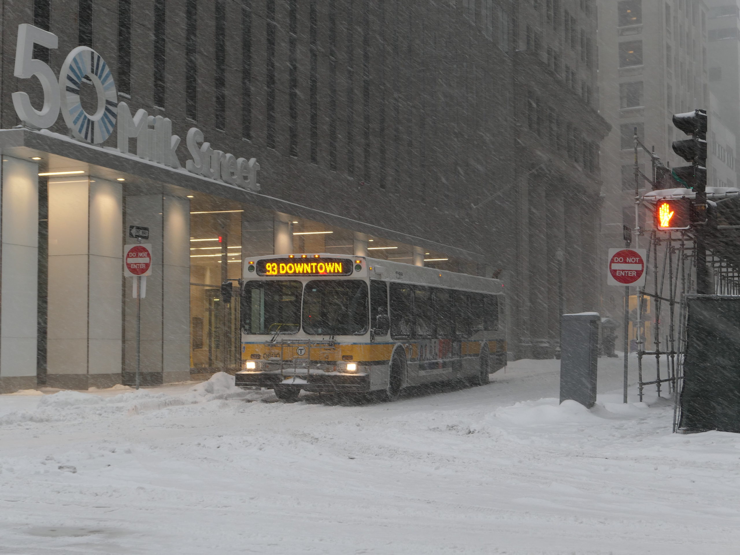
Precipitation may be all snow all the way east to Rte 128 by 4 p.m., potential snowfall rates of up to 2 – 3 inches per hour. In Boston, rain transitions to snow by 7 PM, but the city may now receive 6” to 10” before the snow ends around 1 AM. To the north and northeast of Boston, the storm may be all snow outside of Rte 128. Interior Essex County may get 12” to 18”, with coastal Essex County getting 8” to 12”. On the South Shore, the transition to snow occurs after the evening commute, but there may be a few hours of heavy, plowable snow. Precipitation will end overnight from southwest to the northeast, with snow tapering to flurries in the northeast between 3 a.m. and 4 a.m.
Rain/Snow:
- Precipitation has started in the western region of the state and is expected to start mid-morning in the central region, reaching Worcester by 10 AM, the Boston area by noon, and Cape Cod by 1 PM, and will continue through tonight before tapering off Thursday morning.
- Precipitation will fall as all snow over much of western, central and northeast MA, and along the I-95 corridor and Boston/Providence corridor in eastern MA.
- Snowfall totals are expected to reach 8-12 inches in much of the western region, 12-18 inches in the central region (with lower lying areas experiencing 8-12 inches), 12-18 inches in northeastern MA, and 6-10 inches in Boston. Locally higher amounts of snowfall are possible over high terrain such as the eastern slopes of the Berkshires and the Worcester Hills.
- Much of Plymouth County, the South Coast, and the Cape and Islands will see little if any snowfall accumulation.
- Snowfall will be wet and heavy, especially near the rain/snow line.
- Rainfall amounts of 1-2 inches are expected in pockets along the east coast and much of southern MA.
- Peak snowfall rates will be between 2:00 p.m. and midnight, with the potential of 2-3 inches per hours. This will have a significant impact will be during this evening’s commute.
Winds:
- 30-40 MPH wind gusts in the interior and 50-60 MPH gusts over the immediate coast are forecast, with the strongest winds occurring Wednesday night into Thursday morning.
Coastal Flooding:
- There may be minor to moderate coastal flooding and erosion impacts for the early Thursday morning high tide (approximately 3:30 AM to 4:30 AM) along the MA east coast. Fortunately, the astronomical high tides will be much lower than they were for the last storm and that will help mitigate potential impacts. Also, this storm should be progressive enough to just impact one high tide cycle.
- A Coastal Flood Warning has been issued along the Hull to Plymouth reach of coastline for minor to moderate impacts. This area remains particularly vulnerable due to multiple seawall failures along this reach of coastline as well as erosion and lowering of a number of protective dunes.
- A Coastal Flood Warning remains in effect for the Salisbury to Cape Ann reach of coastline, including the Plum Island area.
- A Coastal Flood Advisory remains in effect for the ocean side of the Cape from Wellfleet to Chatham (including Eastham and Orleans) as well as Nantucket (harbor area and east side).
River and Urban Flooding:
- There is a risk for river, stream and urban flooding for eastern MA this evening into early Thursday morning.
- The Taunton River is currently at minor flood stage.
Uncertainty:
- While confidence is increasing, especially regarding snowfall, a slight shift in the storm track will ultimately determine where the rain/snow line ends up.
Impacts:
- Snowfall rates of 2-3 inches per hour will have a significant impact will be during this evening’s commute. Residents are urged to complete all travel by early afternoon, and if they have to be on the roadways, to allow extra time, use extreme caution, and give adequate room for plows to operate.
- Coastlines in general will be more vulnerable to coastal flooding and erosion impacts due to the damage caused by last weekend’s storm.
- Minor to moderate coastal flooding and moderate beach erosion are possible along the MA coast during the Thursday morning high tide. There is a risk for significant erosion along portions of Plum Island and Salisbury Beach.
- Heavy wet snow may result in downed tree branches/limbs, increasing the risk for power outages.
- Gusty winds may cause scattered tree damage and isolated power outages, especially in eastern Massachusetts.
- Areas of eastern MA that receive heavy rain today may experience flooding of rivers, streams, and urban areas.